Species management and restoration projects
Explore sea urchin and deer management, ecosystem restoration, and drone-assisted surveys and monitoring. Discover research, field programs, commercial approaches and community-led projects across Australia, Aotearoa New Zealand and other regions around the world.
Search the directory
Filter the complete customer-supplied project directory by title or starting letter.
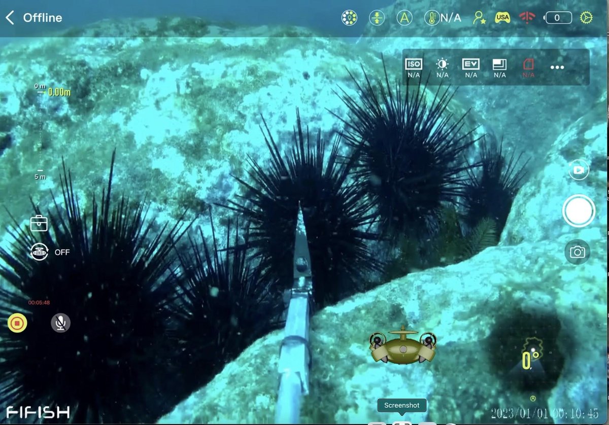
AI & Autonomous Robotics Trials — Mallacoota Reefs
AI and autonomous robotics trials for sea urchin mapping and future control near Mallacoota.

AI-Powered Thermal Analytics & Herd Mapping — Maryland & Virginia USA
AI-Powered Thermal Analytics & Herd Mapping — Maryland & Virginia USA.
Automated Thermal Drone Surveys for Forestry Management — United Kingdom
Automated Thermal Drone Surveys for Forestry Management — United Kingdom.
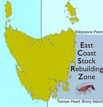
Biological Control — East Coast Tasmania Rebuilding Zone
Predator translocation and lobster stock rebuilding as biological control for long-spined sea urchins.
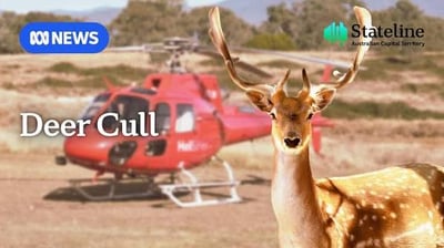
Broad-scale Integrated Aerial & Ground Shooting — Alpine & East Gippsland Parks VIC
Broad-scale Integrated Aerial & Ground Shooting — Alpine & East Gippsland Parks VIC.
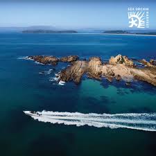
Commercial Harvest as Control — Batemans Bay
Market-driven sea urchin harvest and restoration work around Batemans Bay and the NSW South Coast.
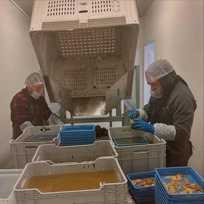
Commercial Processing & Roe Enhancement — East Coast Tasmania
Commercial processing and roe enhancement for long-spined and shortspined sea urchins in Tasmania.

Commercial Wild Harvest Permitting — Midlands & Agricultural Regions TAS
Commercial Wild Harvest Permitting — Midlands & Agricultural Regions TAS.
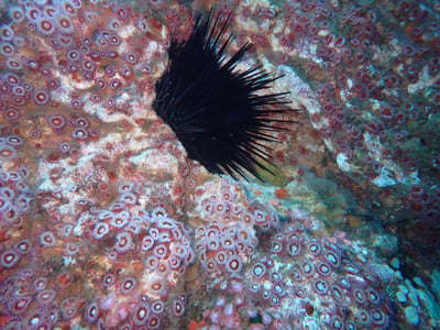
Community Special-Permit Harvesting — Te Kohuroa
Community special-permit kina harvesting and kelp restoration at Te Kohuroa and Matheson Bay.
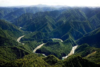
Coordinated Indigenous-Led Aerial & Dog-Tracking Control — Raukūmara Ranges North Island NZ
Coordinated Indigenous-Led Aerial & Dog-Tracking Control — Raukūmara Ranges North Island NZ.
Coordinated Volunteer Ground Culling Program — Central Plateau Conservation Area TAS
Coordinated Volunteer Ground Culling Program — Central Plateau Conservation Area TAS.
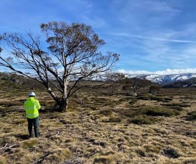
Cross-Tenure Coordinated Ground & Aerial Culling — Illawarra & South Coast NSW
Cross-Tenure Coordinated Ground & Aerial Culling — Illawarra & South Coast NSW.
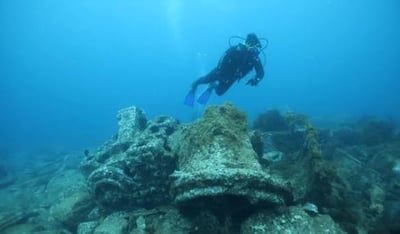
Diver Culling & Monitoring — Beware Reef
Diver culling and kelp recovery monitoring at Beware Reef Marine Sanctuary in East Gippsland.
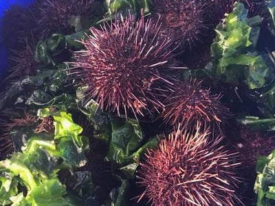
Economic Culling & Ecosystem Modeling — Port Phillip Bay
Economic culling and ecosystem modelling for shortspined sea urchins across Port Phillip Bay.
Exclusion Fencing & Property Containment — High-value Ag & Bushland Reserves (e.g., Midlands) TAS
Exclusion Fencing & Property Containment — High-value Ag & Bushland Reserves (e.g., Midlands) TAS.
Fencing Removal & Huemul Corridor Restoration — Patagonia (Chile & Argentina)
Fencing Removal & Huemul Corridor Restoration — Patagonia (Chile & Argentina).
How to read these records
Each external project page preserves the supplied location, target species, species status, lead organisations, funding context, and known limitation. Source links open the external evidence supplied for that project. The directory describes the supplied records and does not rank or endorse individual approaches.
Understanding management approaches
Projects can have different goals. These approaches help explain what each project is trying to achieve and why ongoing monitoring matters.
Complete eradication
Eradication aims to remove a target population from a defined area. Follow-up surveillance helps assess whether animals remain and detect any reintroduction. Feasibility depends on the species, terrain, access and available resources.
Asset protection, containment and ongoing suppression
Where complete removal is not practical, management may focus on protecting habitats, crops or other valued assets, limiting spread, or reducing populations and their impacts. These approaches often require repeated work and monitoring over time.
Commercial harvest and utilisation
Harvesting animals and using their products can contribute to management. Its reach depends on factors such as market demand, access, product quality and processing capacity. Commercial activity alone does not demonstrate eradication or ecological recovery.
Surveys and monitoring
Drone surveys, thermal imaging and mapping can help teams assess populations, plan fieldwork and monitor change. They support management decisions; surveying alone does not remove animals or restore habitat.
Read each project’s target species, location, methods, sources and known limitations together. Inclusion in this directory does not rank or endorse an approach.
Start with the species context
Resource profiles connect the project directory with the species and combined management topics represented in the data.